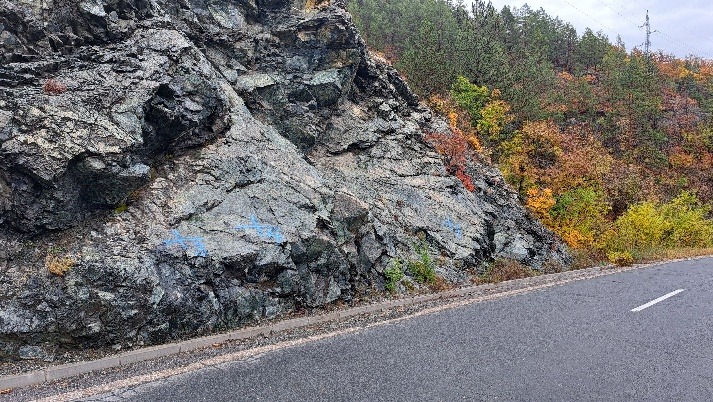
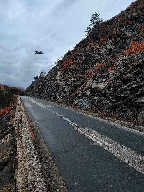
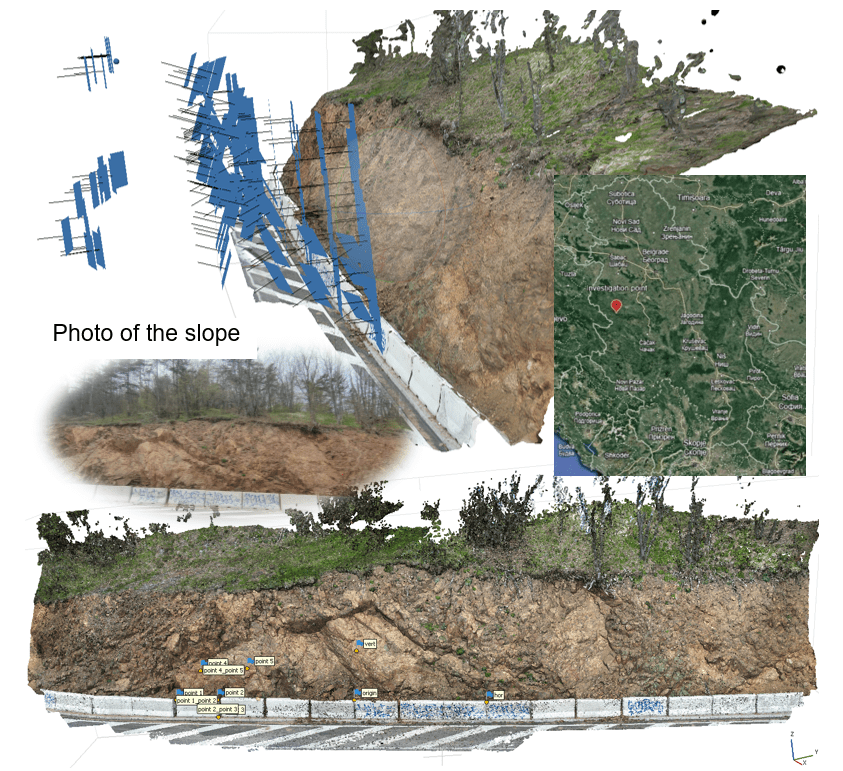
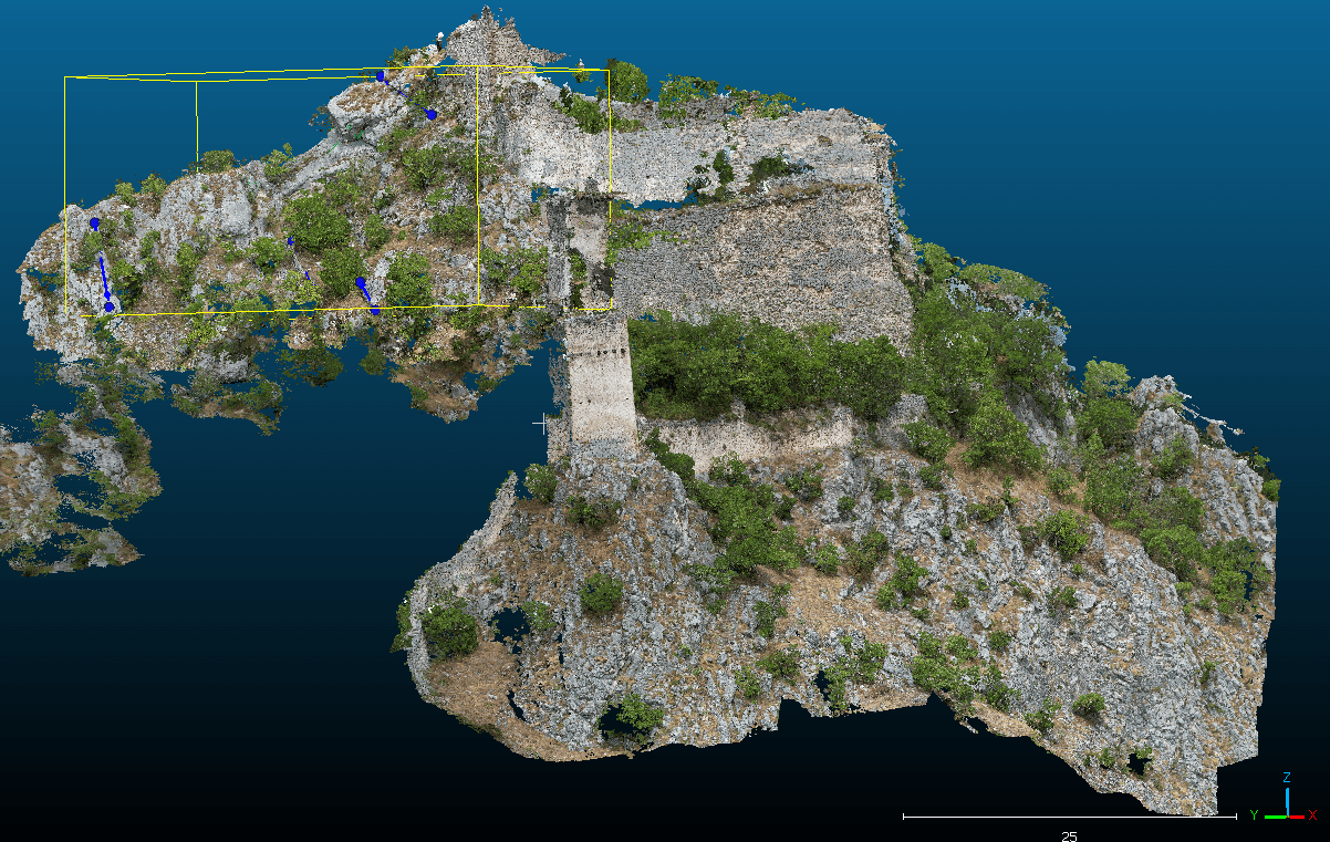
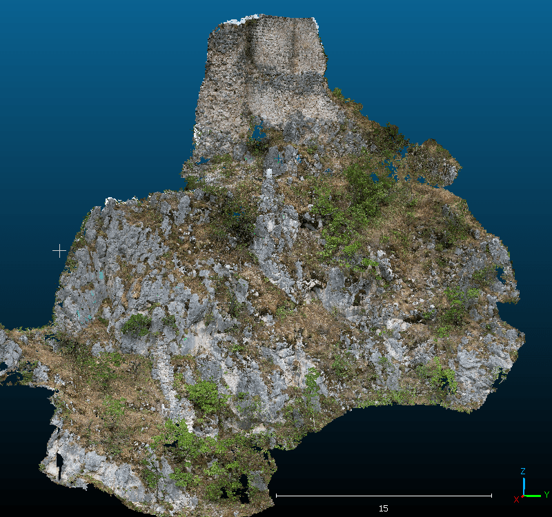
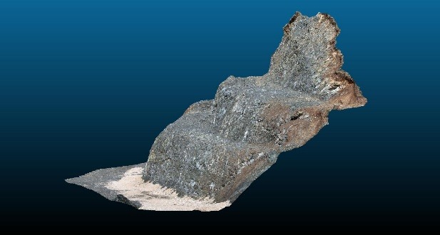
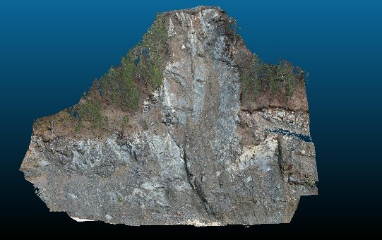
High and inaccessible slopes, cliffs and excavation faces pose a serious challenge to classical mapping methods. The application of UAV photogrammetry and 3D modelling allows us to safely and accurately collect data on rock mass, even where access is not possible.